Papers Project > Image Galleries > Mapping Alaska Gallery

Mapping Alaska

The Mapping Alaska exhibit takes various perspectives on place, geography and cartography in the vast and diverse state.
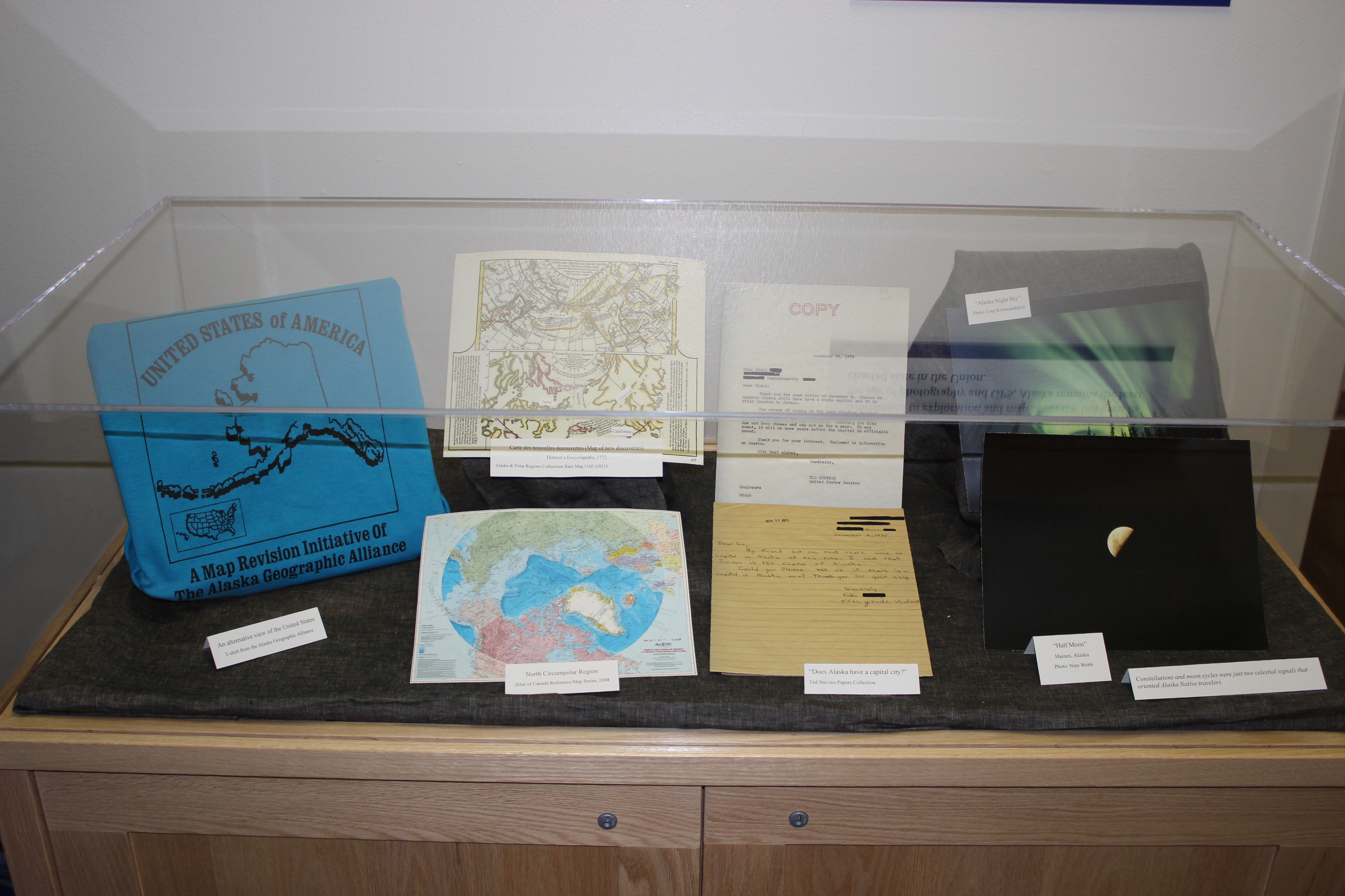
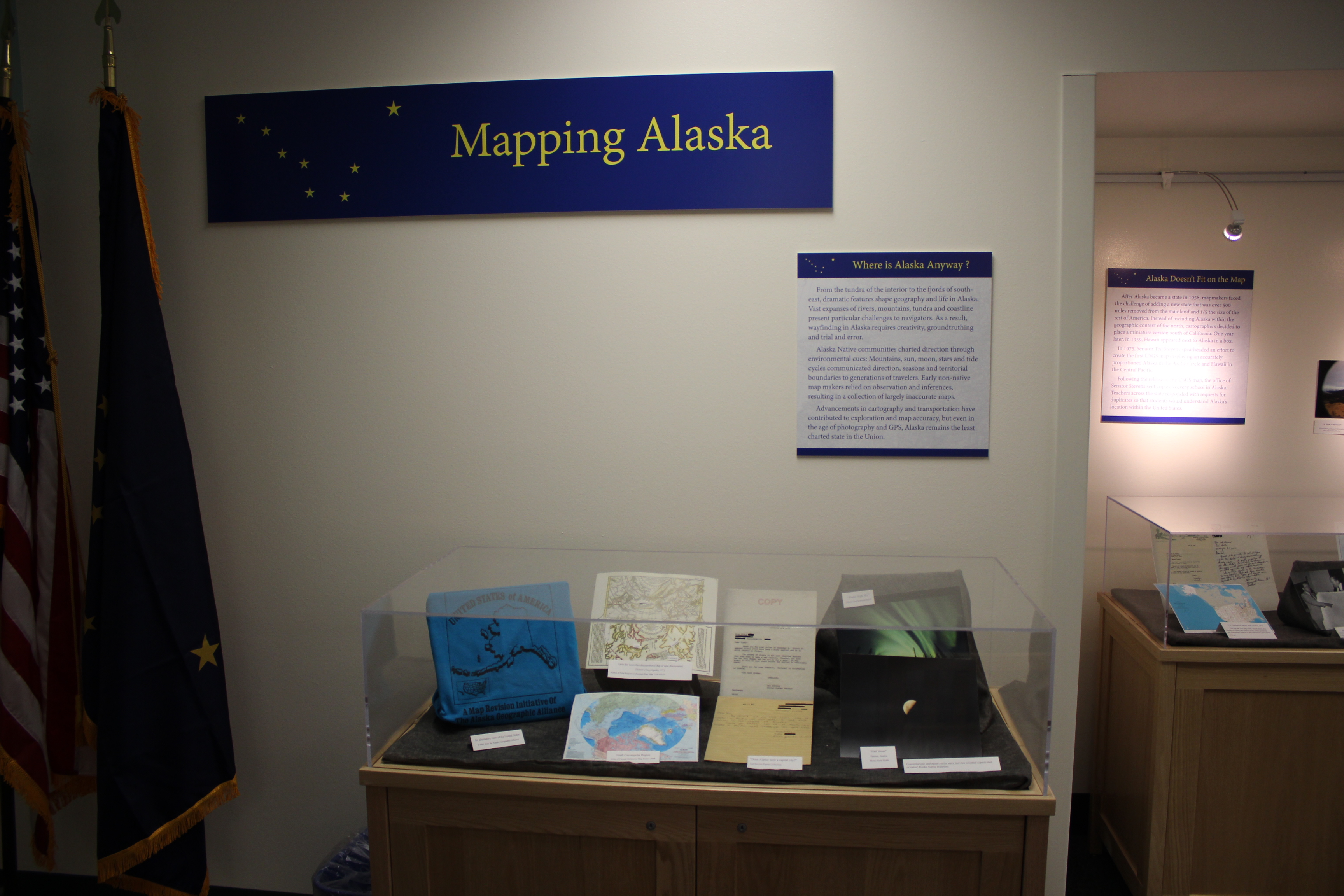
Mapping Alaska exhibit in the Senator Ted Stevens Gallery. Where is Alaska Anyway? display case close-up showing t-shirt with alternative map of the United States.
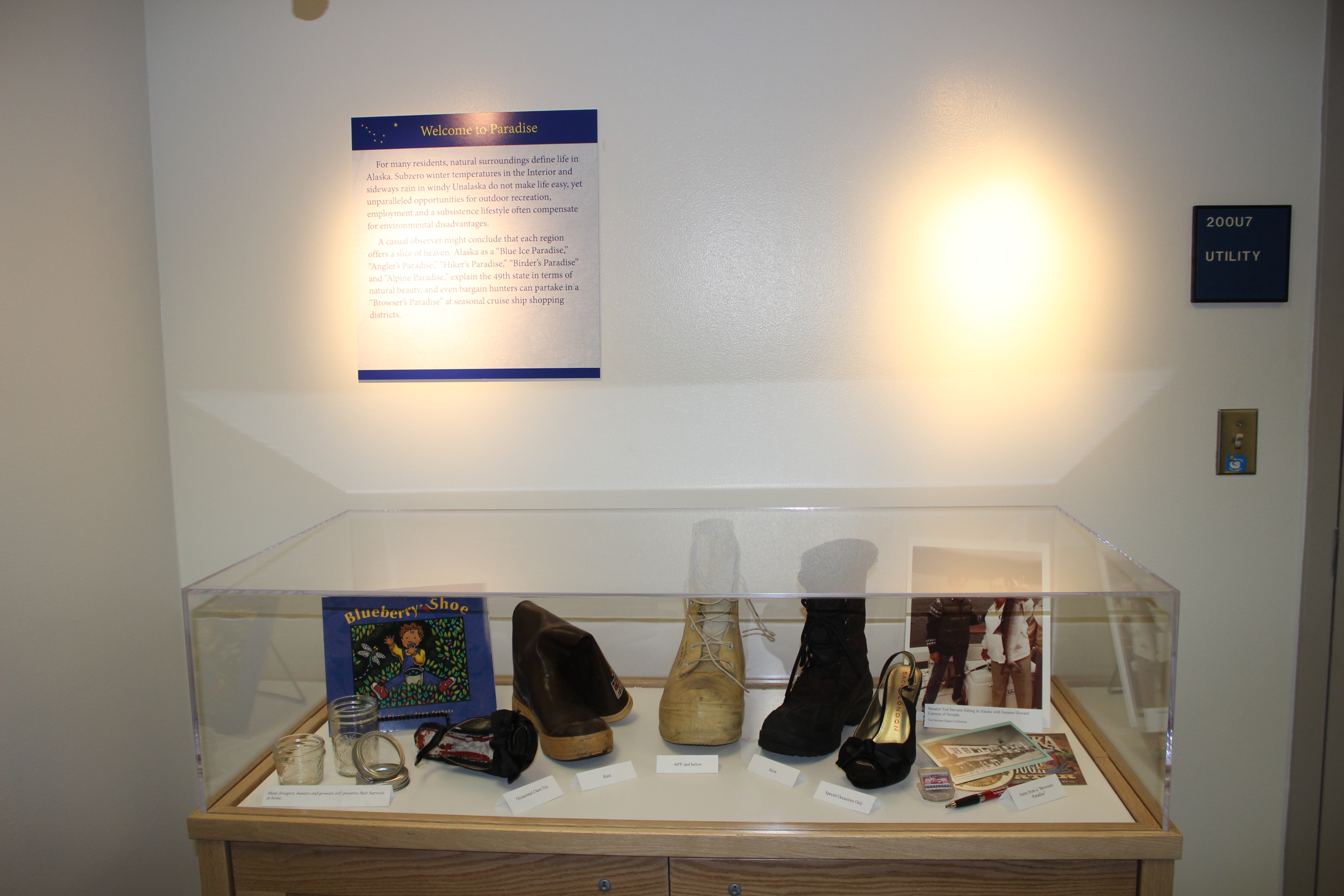
Mapping Alaska exhibit in the Senator Ted Stevens Gallery. Welcome to Paradise exhibit case. (November 2013).
Mapping Alaska exhibit in the Senator Ted Stevens Gallery. Where is Alaska Anyway? display case with title panel. (November 2013).
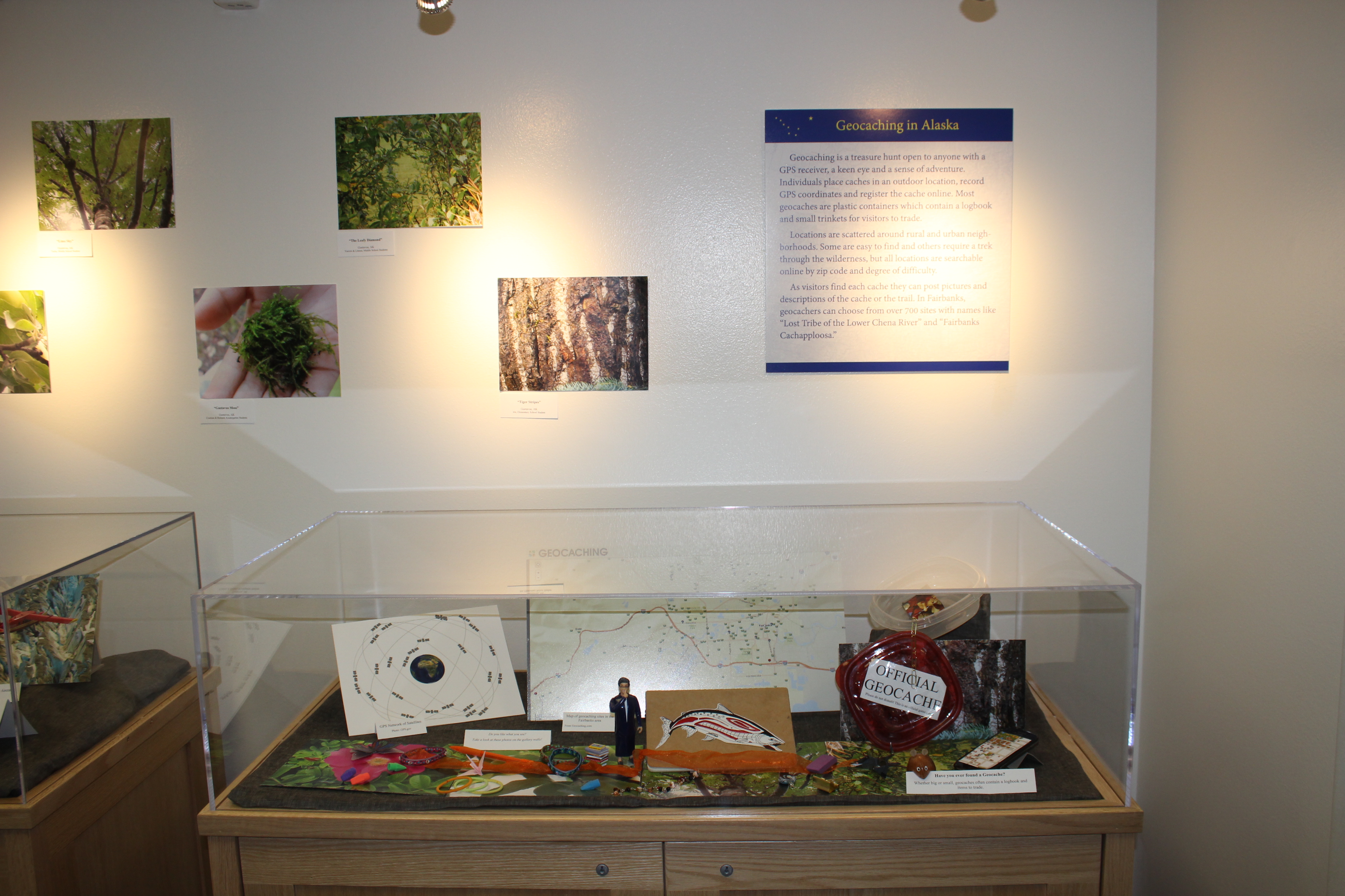
Mapping Alaska exhibit in the Senator Ted Stevens Gallery. Geocaching in Alaska display case. (November 2013)
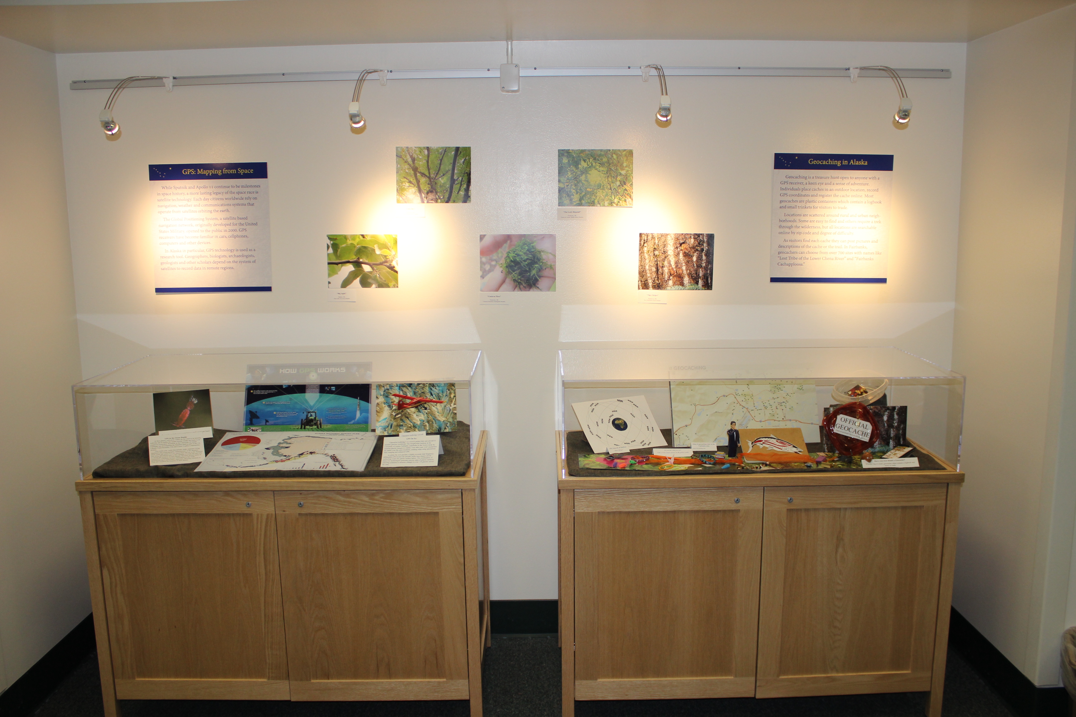
Mapping Alaska exhibit in the Senator Ted Stevens Gallery. GPS: Mapping from Space and Geocaching in Alaska display cases. (November 2013).
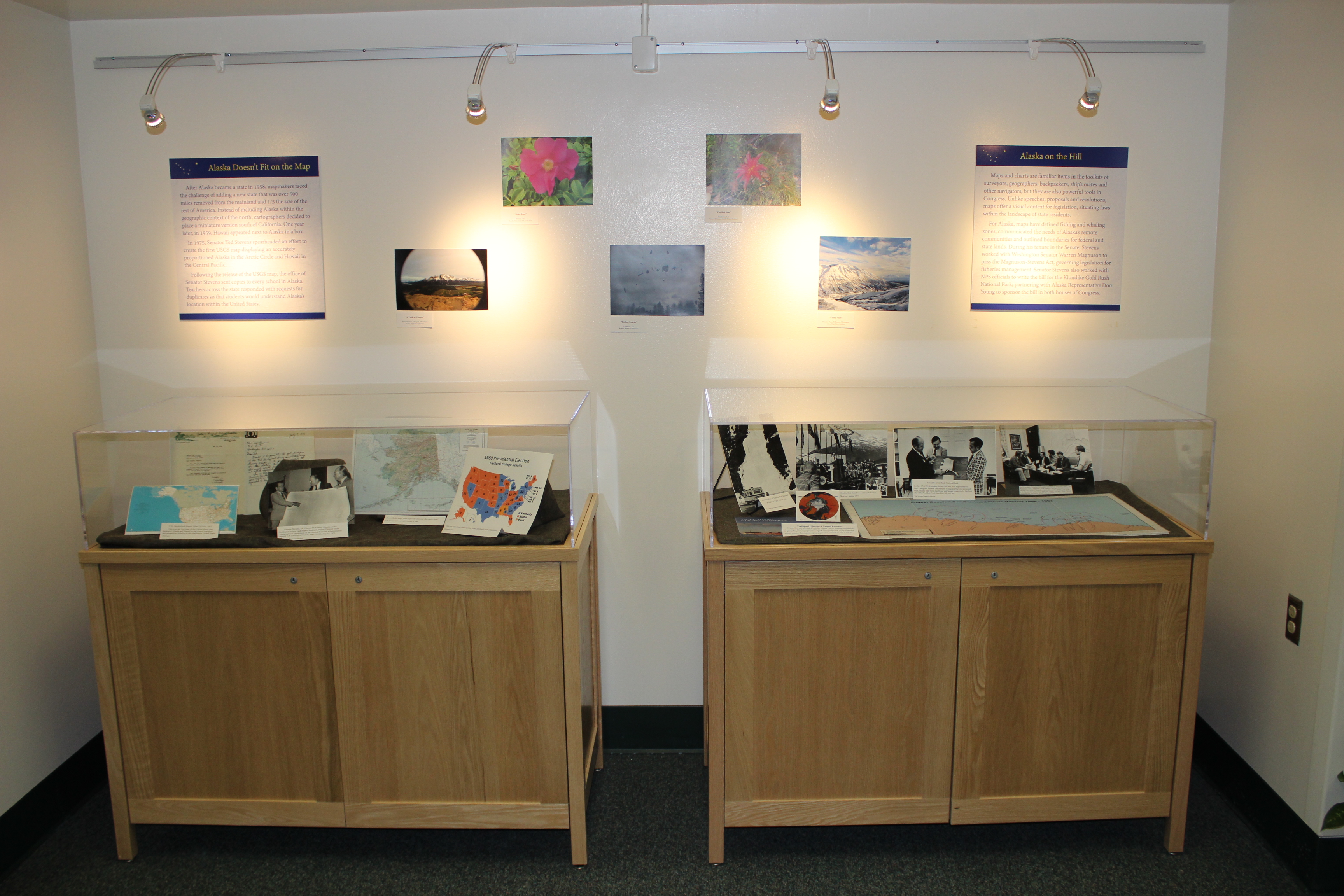
Mapping Alaska exhibit in the Senator Ted Stevens Gallery. Alaska Doesn’t Fit on the Map and Alaska on the Hill display cases. (November 2013).
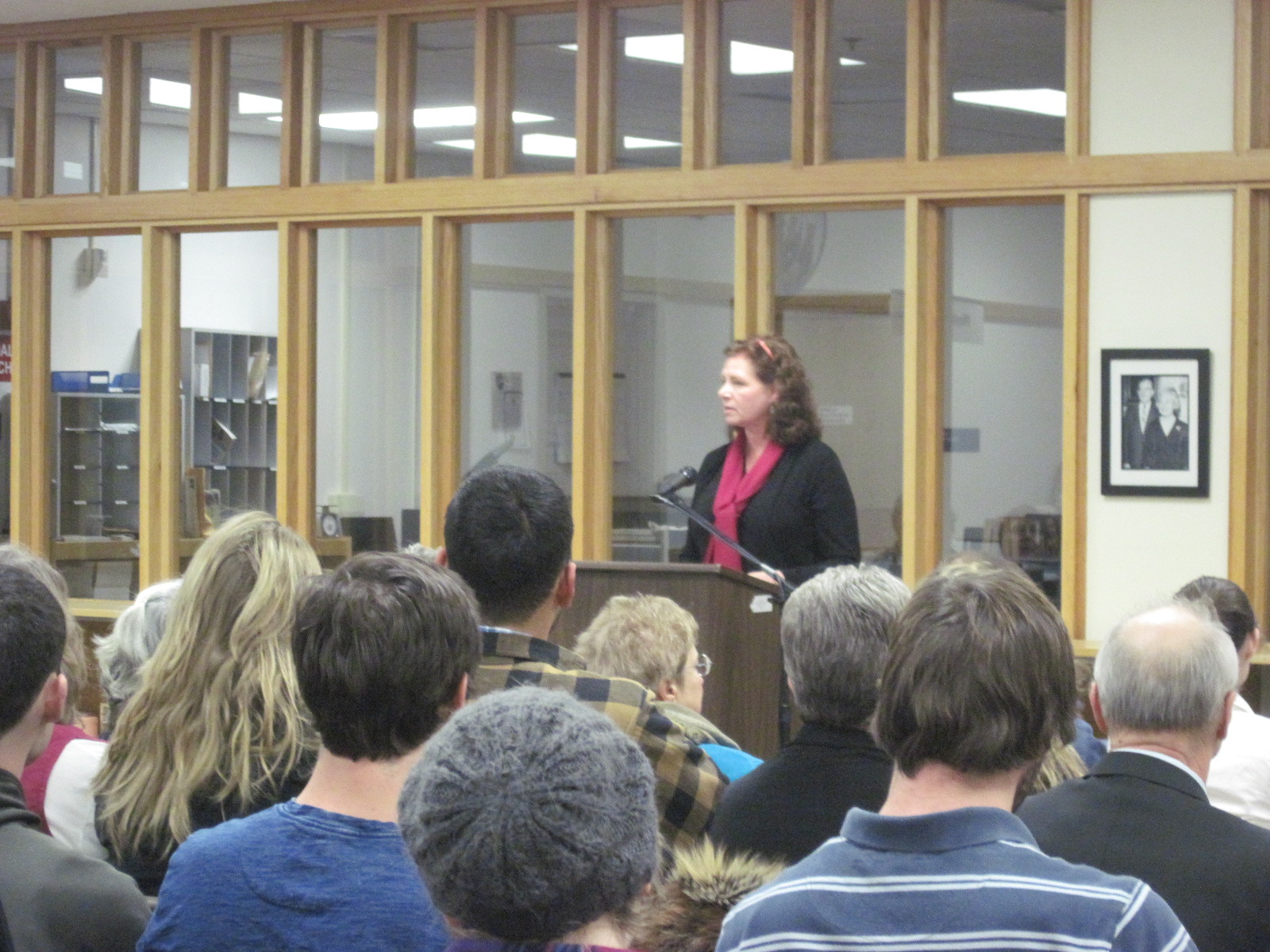
Susannah Dowds, curator of Mapping Alaska exhibit. Susannah Dowds gives a talk in the Alaska & Polar Regions Collections & Archives reading room about her latest exhibit in the Senator Ted Stevens gallery, Mapping Alaska. (November 18, 2013).
Introduction for curator Susannah Dowds’ gallery talk. Mary Anne Hamblen introduces Northern Studies Program graduate student and curator Susannah Dowds before her talk on her exhibit, Mapping Alaska. (November 2013).
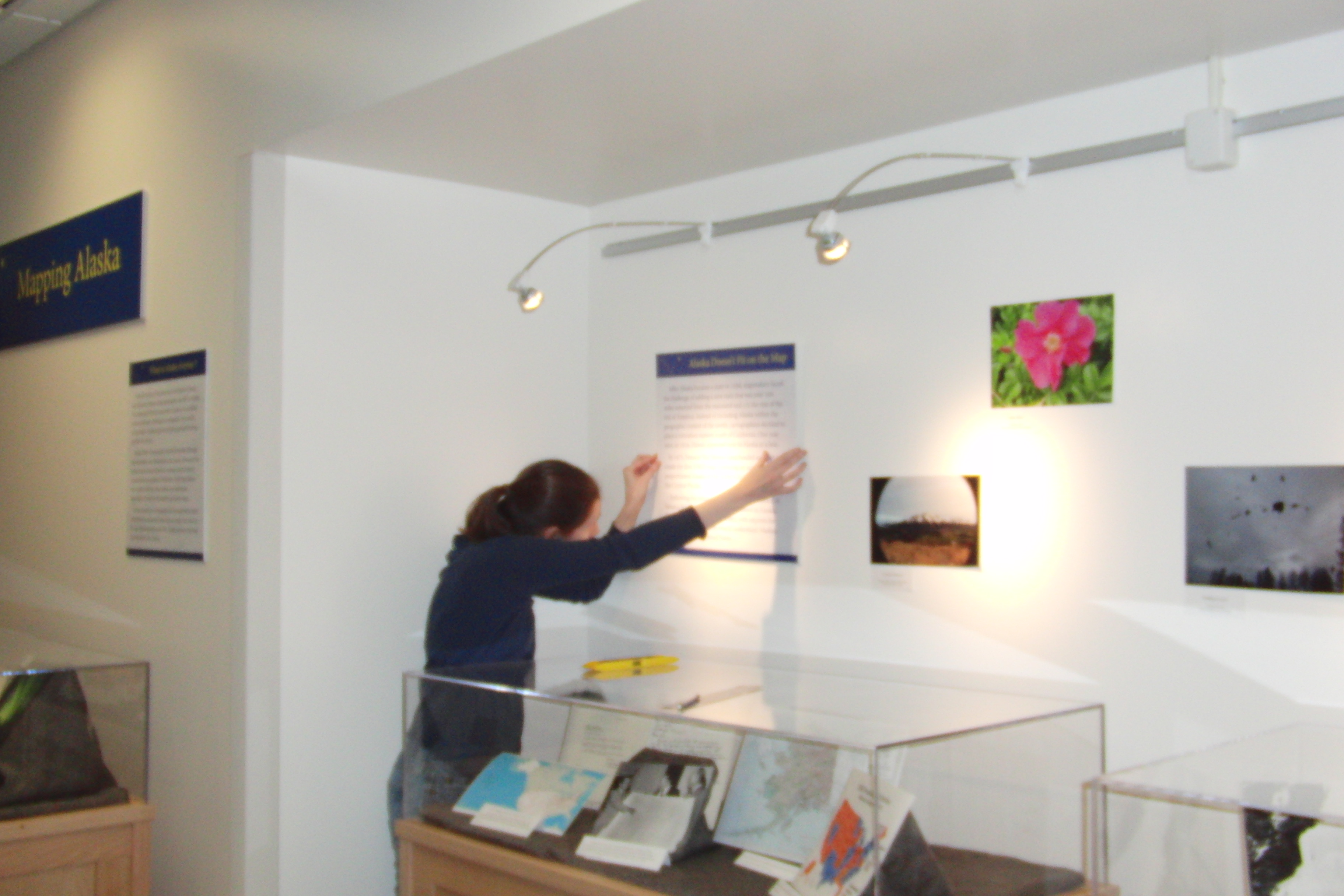
Mapping Alaska installation in Senator Ted Stevens Gallery. Curator Susannah Dowds mounts text panel on wall for Mapping Alaska exhibit. (November 2013).
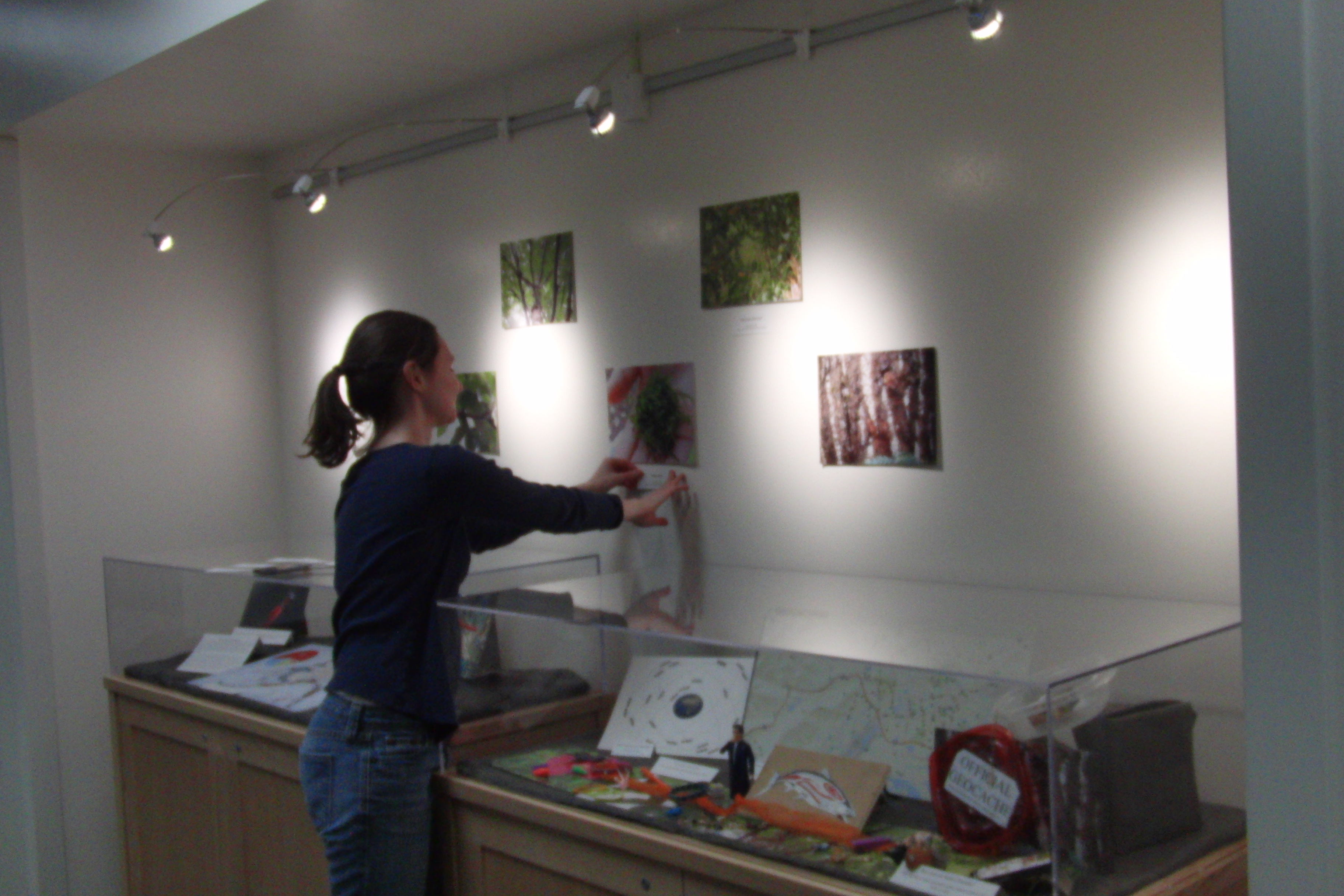
Mapping Alaska installation in Senator Ted Stevens Gallery. Curator Susannah Dowds affixes text labels describing photos in Mapping Alaska exhibit. (November 2013).